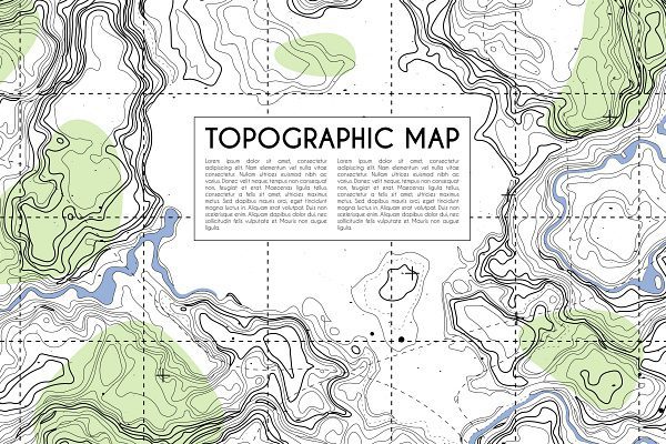
Clear Creek Surveying offers a comprehensive range of surveying services, including topographic mapping in Colorado. Serving the mountain regions such as Jefferson County, Evergreen, Gilpin County, Clear Creek County, Idaho Springs, Georgetown, Empire, Central City, and Black Hawk, our topographic mapping service provides clients with an accurate and detailed representation of land or terrain, including its features and contours.
How We Create Accurate Topographic Maps
Our team uses specialized equipment, such as GPS receivers and total stations, to collect precise measurements of the terrain and its features. This data is then used to create a detailed map that accurately represents the three-dimensional landscape in two dimensions.
Applications of Topographic Mapping
Topographic maps have a wide range of applications, including urban planning, environmental management, civil engineering, and land-use planning. They are also a valuable resource for outdoor enthusiasts, as they can be used to navigate unfamiliar terrain and plan routes for hiking, camping, and other outdoor activities.
Clear Creek Surveying: Your Topographic Mapping Solution
If you need topographic mapping services in Colorado, Clear Creek Surveying is the company to trust. Our team is dedicated to providing accurate and detailed maps that meet the needs of our clients, regardless of the project. We take pride in our work and strive to exceed expectations with every project we undertake.
For topographic mapping services in Colorado’s mountain regions, including Jefferson County, Evergreen, Gilpin County, Clear Creek County, Idaho Springs, Georgetown, Empire, Central City, and Black Hawk, contact Clear Creek Surveying today to learn more about how we can assist you.

